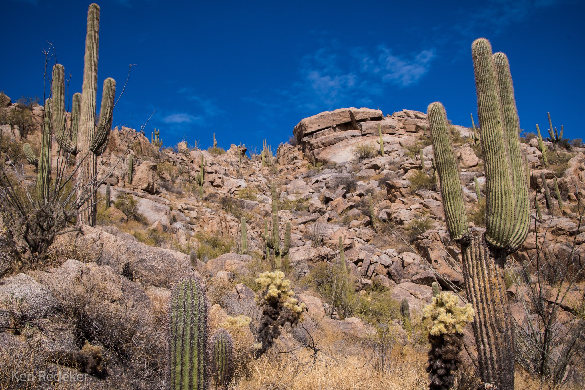
I began my hike to Tom's Thumb at 10:31 AM, from the Gateway Trailhead. From the trailhead to Windgate Pass and Tom's Thumb Trail junction was 2.6 miles, and it had taken me 1 hour and 5 minutes. Shortly after the junction, the trail became much steeper. The second half of the trail took 1 hour and 12 minutes, and I reached Tom's Thumb at 1:36 PM. It had taken me 3 hours and 4 minutes to arrive at the base of the 140-foot granite monolith called Tom's Thumb. At this point I was 5.6 miles from the trailhead. I headed back at 1:50 PM, and arrived at the trailhead at 4:07 PM. My round-trip hike was 11.2 miles, and had taken me 5 hours and 36 minutes. The ascent was 2,165 feet.
Tuesday, April 29, 2025
Tuesday, April 27, 2021
McDowell Sonoran Preserve - Scottsdale, AZ
I hiked a 10.4 mile loop at the McDowell Sonoran Preserve. I hiked Tom's Thumb Trail to the
East End Trail, and followed that tail to the Windmill Trail, to the Coachwhip
Trail, to the Pemberton Trail, and finally to the Boulder Trail and past the
Marcus Landslide. It took me 4 hours and 41 minutes to complete the loop.
I had a failed first attempt on Tom's Thumb Trail at 10am. It had rained that morning and the skies began to clear and the sun came out. However, clouds began to gather over the McDowell Mountains. I studied the darkening clouds and decided to start my hike since sunshine was only a mile away. But by the time I was less than a mile into my hike it began to lightly rain. I hoped it would be brief and I continued. At 1.3 miles up the mountains the rain increased and sunshine was miles away. I turned around here and ice pellets began to fall with the rain. After a few minutes I was soaked and cold. I made it back to my car in less than a half hour. I changed my shirt and my hiking pants dried out. At noon the sun came out and I started back up the mountains again. I hiked fast because I wanted to finish before 5pm. But first I hiked to Tom's Thumb which took an hour. Then I headed back to the East End Trail to finish the 10 mile loop.
![]() |
My 10.4 mile hike. |
Friday, April 16, 2021
Brown's Summit - McDowell Sonoran Preserve
Thursday, January 28, 2021
McDowell Sonoran Preserve - Scottsdale
Wednesday, January 20, 2021
Granite Mountain - McDowell Sonoran Preserve
I had been debating for a while whether or not to climb this mountain to
the 3,526 foot summit. It seemed rather difficult with all the giant
boulders. But I finally gave it a try, and it wasn't nearly as difficult
as I had imagined it would be. I went up the east side, and came down the easier west side to the Granite Mountain Loop Trail for a 4.8 mile loop. The entire hike took about 4 hours. The McDowell Sonoran Preserve is located in Scottsdale, at the edge of the basin-and-range province.
![]() |
The Bootlegger Trail |
![]() |
Granite Mountain |
![]() |
Heading up the mountain. |
![]() |
The summit lies ahead. |
![]() |
The summit lies ahead. |
![]() |
Onward to the summit. |
![]() |
View from the summit. |
![]() |
I brought my tripod with. |
![]() |
The second summit from the first summit. |
![]() |
The view from the second summit. |
![]() |
The second summit I climbed. |
![]() |
The second summit. |
![]() |
The second summit. |
![]() |
Looking back at the first summit. |
![]() |
A balanced rock. |
![]() |
My route. |