Showing posts with label Organ Pipe Cactus National Monument. Show all posts

Friday, March 21, 2025

Mount Ajo - Organ Pipe Cactus National Monument

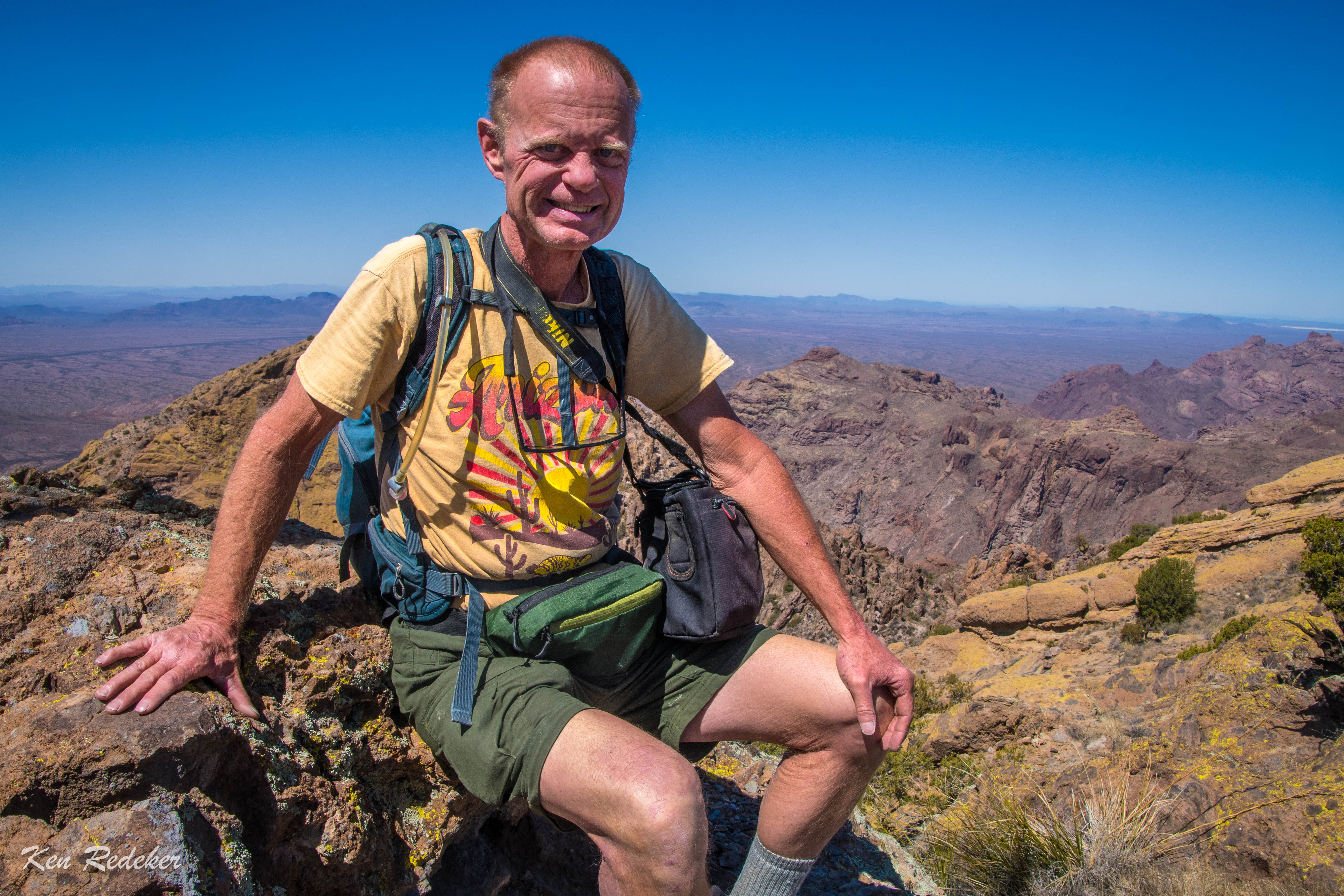
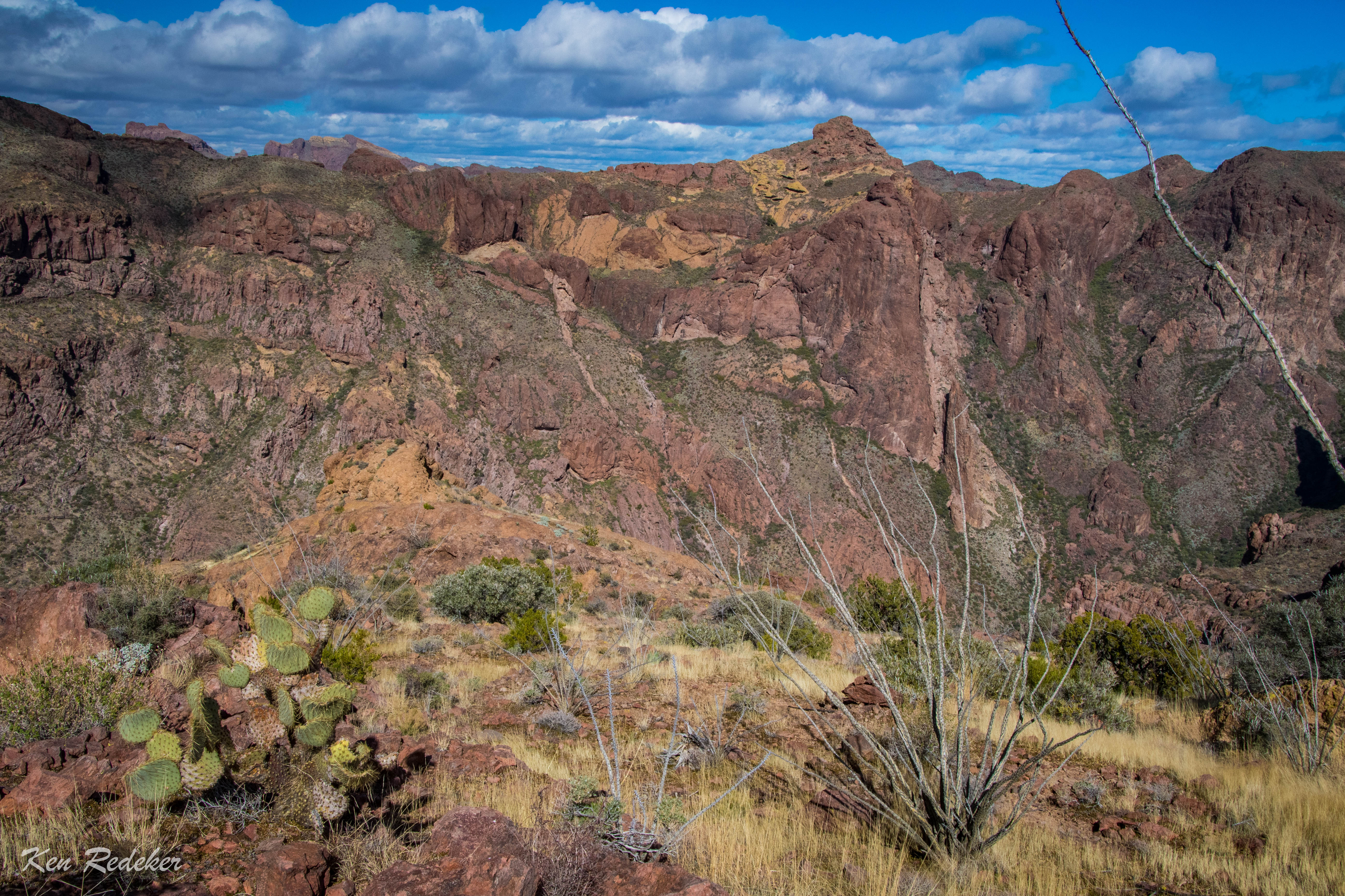
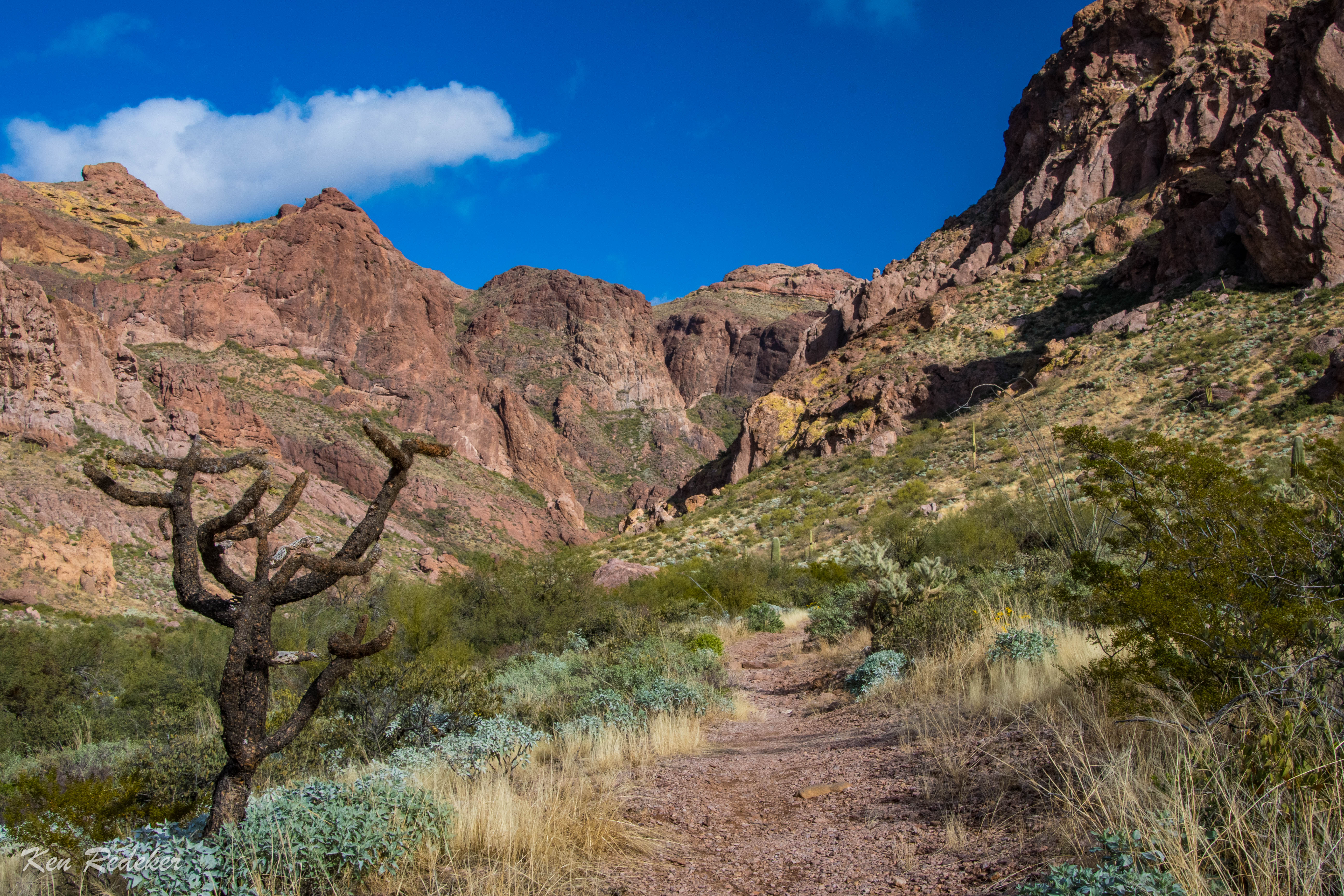
I hiked up to the 4,811-foot summit of Mount Ajo for the second time. I began my hike at 8:20 AM. At 1.5 miles I reached the end of the maintained trail at Bull Pasture. That took 48 minutes with an ascent of about 917 feet. From here the trail is unmaintained. After 2.6 miles I reached the steep, scree covered slope. This ascent up to the ridge gains about 421 feet in almost a quarter mile. Beyond this point the trail is a moderate grade.  At 11:38 AM, I reached the summit. It took me 3 hours and 18 minutes to travel 4.1 miles. After taking photos, I headed back down to my mini van. The entire hike was 8.1 miles round-trip, and it took me 6 hours and 48 minutes. The ascent up Mount Ajo was about 2,437 feet.


Thursday, March 20, 2025

Twin Peaks Campground - Organ Pipe Cactus National Monument

I had four days off work from Sprouts, so I headed south to Organ Pipe Cactus National Monument. I camped at site #194 for two nights.

Site #194


Tuesday, January 17, 2023

Arch Canyon - Organ Pipe Cactus National Monument

I went to Organ Pipe Cactus National Monument and hiked the Arch Canyon Trail for the second time. It was 3 miles round trip and took me 2.5 hours to complete. I got to use my National Park Senior Pass for the first time! I got 50% off the campsite. So happy to turn 62 last November.


Site #204


Tuesday, March 30, 2021

South Fork Alamo Canyon - Organ Pipe Cactus National Monument

I had never been down the south fork of Alamo Canyon, and couldn't find any information about it. So this was an exploratory hike for me to see how far I could travel within the canyon. I followed the Alamo Canyon Trail from the campground to where the canyon splits going north and south. Both directions have no trail beyond this point. At 1.76 miles down the south fork my progress was blocked by boulders the size of trucks. At that point I climbed up out of the canyon heading east so I could get a view of the surrounding area. Next, I followed a drainage toward a narrow canyon. Inside the canyon I encountered a pour-off that I was unable to climb, but I was able to climb around it on the left side. That is where I turned around. Later I read that this is a route to Peak 3940. I will return in the fall and bag that peak.

The south fork of Alamo Canyon.

Climbing out of Alamo Canyon.

Climbing out of Alamo Canyon.

Climbing out of Alamo Canyon.

Looking down at Alamo Canyon.

Looking down at Alamo Canyon.


Looking down at Alamo Canyon.


Looking down at Alamo Canyon.

I turned back after I found a way through this canyon.

My 4.6 mile route.