Showing posts with label Usery Mountain Regional Park. Show all posts

Tuesday, April 8, 2025

Pass Mountain Loop Trail - Goldfield Mountains

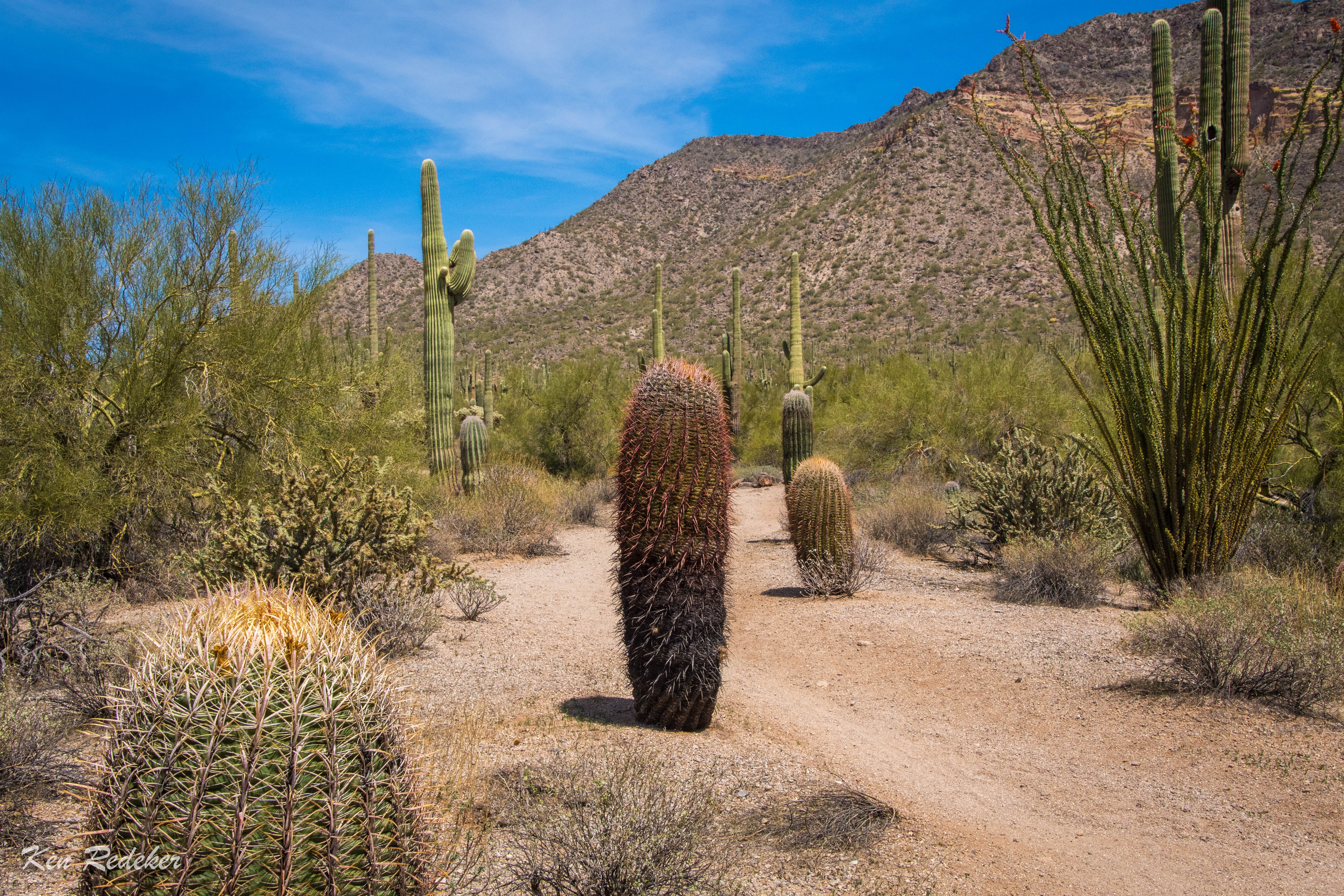
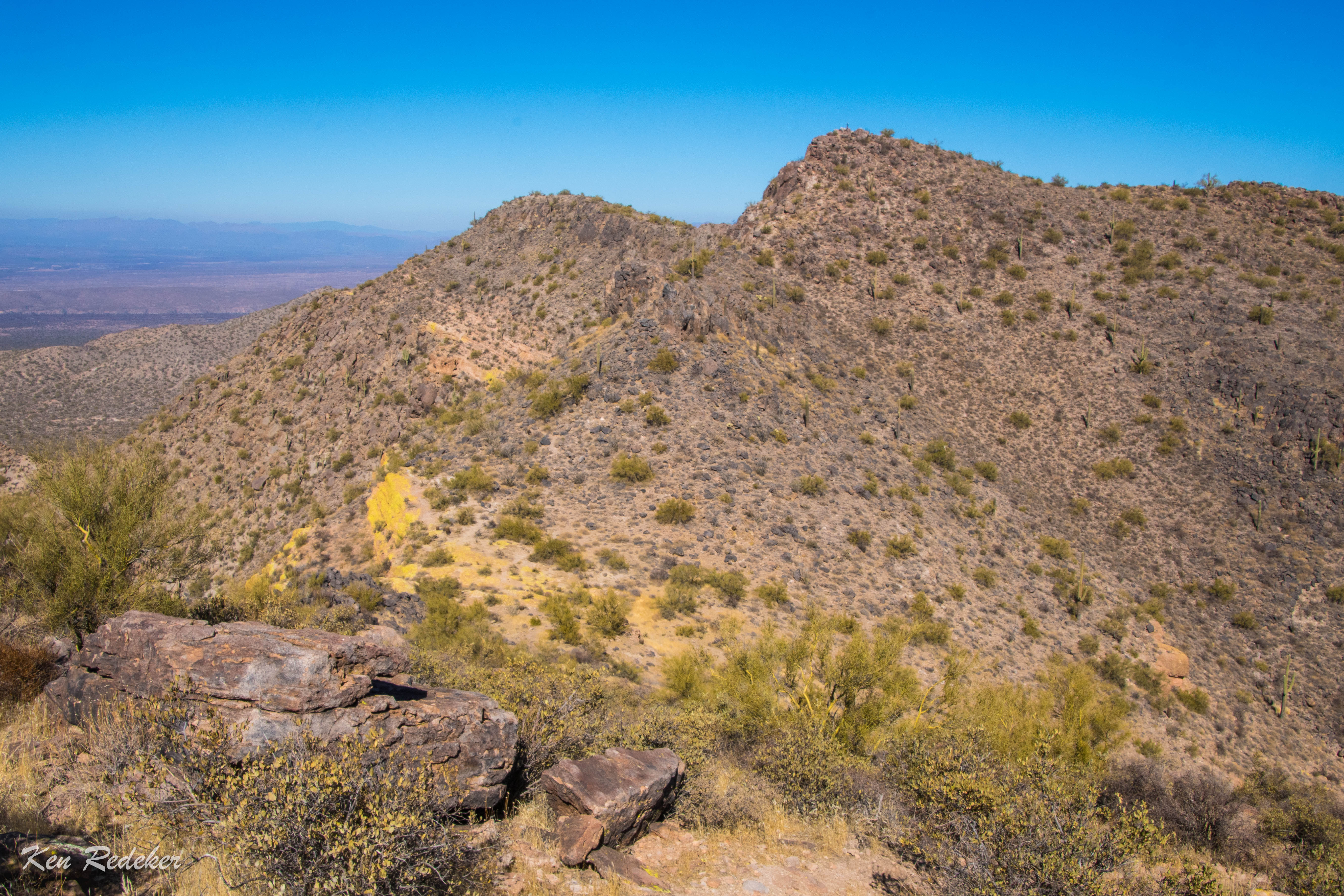
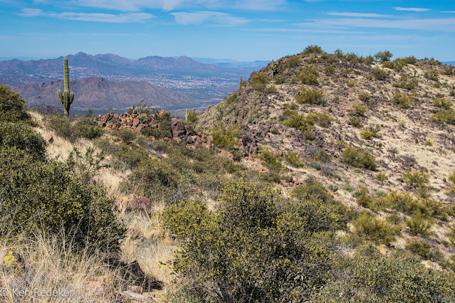
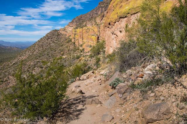
At 11:18 AM, I started my hike around Pass Mountain from the Meridian Trailhead. My first break was in Usery Mountain Regional Park. The shelter and picnic table was 2.4 miles from Meridian Road, and it took me 52 minutes. After 2 hours and 43 minutes I reached the junction of the Bulldog Saddle Trail, and continued on the Pass Mountain Trail. It was 6.1 miles to the junction. I got back at my vehicle at 2:51 PM. My hike was 8.1 miles, and it took me 3 hours and 32 minutes.


Friday, January 31, 2025

Pass Mountain Summit Loop - Tonto National Forest

I began my hike in Usery Mountain Regional Park. I did a 5.3 mile loop going clockwise to the 3,304-foot summit. From there I headed south where I followed the trail down to my mini van. The hike took me 3 hours and 19 minutes.


Sunday, February 20, 2022

Pass Mountain Summit Loop - Tonto National Forest

I hiked the Pass Mountain Summit Loop Trail going clockwise. It was 5.5 miles and took me 4 hours and 20 minutes. From the trailhead at Usery Mountain Regional Park it was 3 miles to the summit, and it took me 1 hour and 53 minutes. Then I followed a faint trail south on the ridgeline for 1.8 miles. Then near the south summit I followed a trail down to Wind Cave and back to my car.


My 5.5 mile hike.


Wednesday, September 23, 2020

Pass Mountain - Tonto National Forest

I hiked up Pass Mountain from Usery Mountain Regional Park. The summit is 3,304 feet, and the trail is 5.1 miles round trip with an elevation gain of 1,133 feet. It took me 6 hours, because of all the scrambling and climbing along a faint trail, which I lost a couple times. This is a challenging class 2 and 3 hike, and the weather was forecast to reach 100 degrees. I wanted to push myself to see if I was capable of hiking in that heat. I packed 4 liters of water, and a camera tripod.  I did just fine, and had a half liter of water left when I got back to my car. The summit was nice with a cool and refreshing breeze, and I hopped around on the boulders taking self portraits until I was satisfied with a few images.

My favorite trail sign.


The faint trail heading north on the ridgeline.

The false summit.


Pass Mountain


On the summit of Pass Mountain.

On the summit of Pass Mountain.

On the summit of Pass Mountain.

Pass Mountain

Pass Mountain

Pass Mountain

Pass Mountain


The trail.

Class 3 section of the trail.


My car.

My route.