


 |
| Mike Van Note leading the way. |


 |
| Mike Van Note and LL |


 |
| LL |
 |
| LL |
 |
| Mike Van Note |


|
| Mike Van Note leading the way. |
|
| Mike Van Note and LL |
|
| LL |
|
| LL |
|
| Mike Van Note |
I camped at Mingus Mountain Campground at 7,500 feet elevation to escape the heat of the Verde Valley. Only 18 miles from Cottonwood but 4,000 feet higher.

I hiked up to the 7,619 foot summit of Hickey Mountain in the Black Hills. I started at the Woodchute Mountain Trailhead parking area at 7,047 feet so the elevation gain was only about 518 feet. There was no trail until I got near the summit. The hike was 5.4 miles round trip and took me 3 hours and 46 minutes. Bushwhacking was minimal but the ground was covered with scattered basalt rock, mostly the size of footballs, and that made the trek slower.

 |
| On the summit. |
 |
| Looking back at the summit. |
 |
| Mingus Mountain |
 |
| My 5.4 mile round trip hike. |
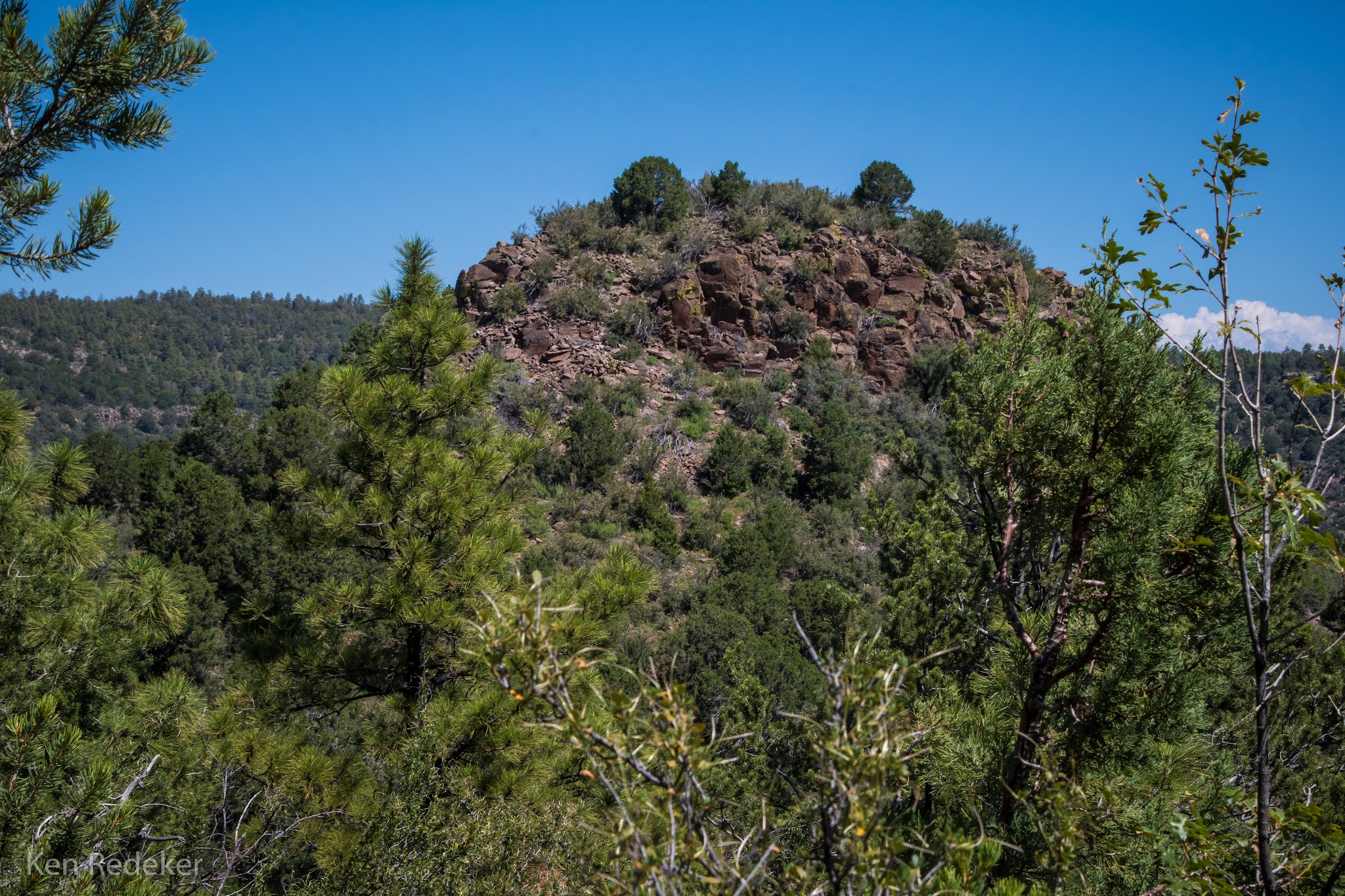
I had gone to the library in Prescott Valley since it was open on a Sunday. On the way back I pulled off AZ-89A to photograph Peak 7334 (Crow's Peak). I had climbed it from the other side on August 25th.
 |
| Peak 7334 (Crow's Peak) |
I returned to this new trail system that opened up in 2020, to walk off-trail in Blowout Creek and look for rattlesnakes. The trail has amazing views of Mingus Mountain, and the Verde Valley. So nice that this area is now closed to motorized vehicles. It had been getting trashed. The trailhead is located on Mingus Ave., a short distance after the pavement ends. Unfortunately I didn't find any rattlesnakes.
I hiked the 551 trail 2 miles to the intersection of Blowout Creek, and then I hiked 1.25 miles off-trail in the dry wash to trail 556. The elevation gain was about 388 feet. It took me 1 hour and 32 minutes to hike the 3.6 mile loop.


 |
| The 3.6 mile route I hiked. |
The 7.2 mile loop hike around Little Granite Mountain took me 4 hours and 22 minutes, with approximately 1,000 feet of elevation gain. This time I followed the trail counter-clockwise. It took me 44 minutes to reach Blair Pass which is 1.75 miles from the trailhead. At this point a trail heads north up Granite Mountain. Granite Basin is part of the Prescott National Forest. The trail wanders through areas of chaparral, rocky hills, and pinyon-juniper pine woodland. This was my second time doing this beautiful loop. I began my hike at the Metate Trailhead near Granite Basin Lake.
These are my happiest days when I am on the trail and not working at Walmart.


 |
| My 7.2 mile hike. |
From my car parked on AZ-89A it was 2.5 miles round-trip to the summit. I followed an occasional trail used mostly by game. There was plenty of bushwhacking and brambles the closer I got to the top. The rocky outcrop at the summit was a class 3 climb, and it took me about a half hour to find a safe way up. It took me 2 hours to go 1.25 miles to the summit from 6,170 feet to 7,334 feet.
 |
| At the saddle. |
 |
| View from the summit. |
 |
| View of the Prescott Valley from the summit. |
 |
| Me near the summit. |
 |
| AZ-89A down below where I parked my car. |
 |
| Walking back to my car on AZ-89A. |
 |
| The route from my car. |