Monday, June 28, 2021

Camp Verde Public Library

I'm at the Camp Verde Public Library because I can't go hiking anywhere. Five of the six National Forests in Arizona, are closed due to wildfires. Only the Coronado National Forest is open. It really sucks, and State Land Trust is also closed. Now I have nowhere to camp.  It is rather depressing. I have to resort to stealth camping within Cottonwood. I found a safe spot at a dead end road where a few medical offices are clustered together. I park behind a row of empty offices after sunset. Then I leave at 5:30am. The view is a wall, a dumpster, and desert shrubs. But it's quiet. However, I really miss the expansive views of the high desert grasslands and the Black Hills that stretch from Camp Verde to Cottonwood. I can still see Mingus Mountain but the foreground is Sovereign Laboratories. It's a ruined scene. I hunger for wide open spaces. Throughout the day I look skyward and hope for the monsoon rains to put an end to the wildfires, and then I can return to my little spot in the desert.


Monday, June 21, 2021

Dripping Springs - Grand Canyon National Park

My 6.2 mile round trip hike 1,963 feet below the rim. I started at 5:45am because the Grand Canyon had an excessive heat warning, and it was vital to be back on the rim before noon. The trail descends through a series of switchbacks in a sparsely populated pinyon pine forest. It took me 2 hours to reach the spring. At the spring I took a 40 minute break and then headed back to the trailhead. The return hike back to the trailhead also took me 2 hours. By the time I returned to Grand Canyon Village at 11:00am it was close to 90 degrees.

Dripping Spring is a small but quite reliable source of water, found in an overhanging alcove beneath tall Coconino sandstone cliffs. I took my shirt off and stuck my head under the dripping spring. It felt like droplets of ice, and sent a welcome chill through my body. I felt recharged for the steep hike back up to the rim.

The Hermit Trail

The Hermit Trail

The Hermit drainage.


The Hermit Trail

The Hermit Trail

The Hermit drainage.

The Hermit Trail


Dripping Spring is beyond the drainage.

Dripping Springs Trail


Dripping Springs Trail

Hermit Creek


Looking back at Dripping Springs Trail.

Looking back at Dripping Springs Trail.


Looking back at Dripping Springs Trail.

Dripping Springs straight ahead.

Dripping Springs straight ahead.
Dripping Springs is in the alcove.

Photo of Dripping Springs using my phone camera.

The Hermit drainage that I traversed.

My 6.2 mile hike.

Monday, June 14, 2021

Humphrey's Peak - Coconino National Forest

This was my fourth time hiking up to the 12,633 foot summit. First it took me 2 hours and 52 minutes just to reach the pass. Then I arrived on the summit after a 4 hour and 34 minute hike. It was 10.4 miles round trip and took me 8.5 hours. The trail starts in a meadow at the Arizona Snowbowl at 9,333 feet. After leaving the meadow the trail enters a dense forest of aspen, fir and spruce trees until it reaches a saddle connecting Humphrey's Peak and Agassiz Peak. Beyond the saddle the thick forest is quickly left behind and bristlecone pines thrive in the tundra environment. But soon the bristlecones disappear too, and the landscape is relatively barren, and the plant life of this tundra environment is extremely fragile.

It was so nice to escape the desert heat. It was in the mid 50s on the summit. This time it only took me 4.5 hours to reach the summit. The goal of reaching the summit keeps my mind focused, and my OCD becomes a distant annoyance.

Humphrey's Peak is a stratovolcano. The volcano had multiple eruptions between 900,000 and 400,000 years ago. It is also the 26th most prominent mountain in the lower 48 states with an elevation rise of 6,053 feet.


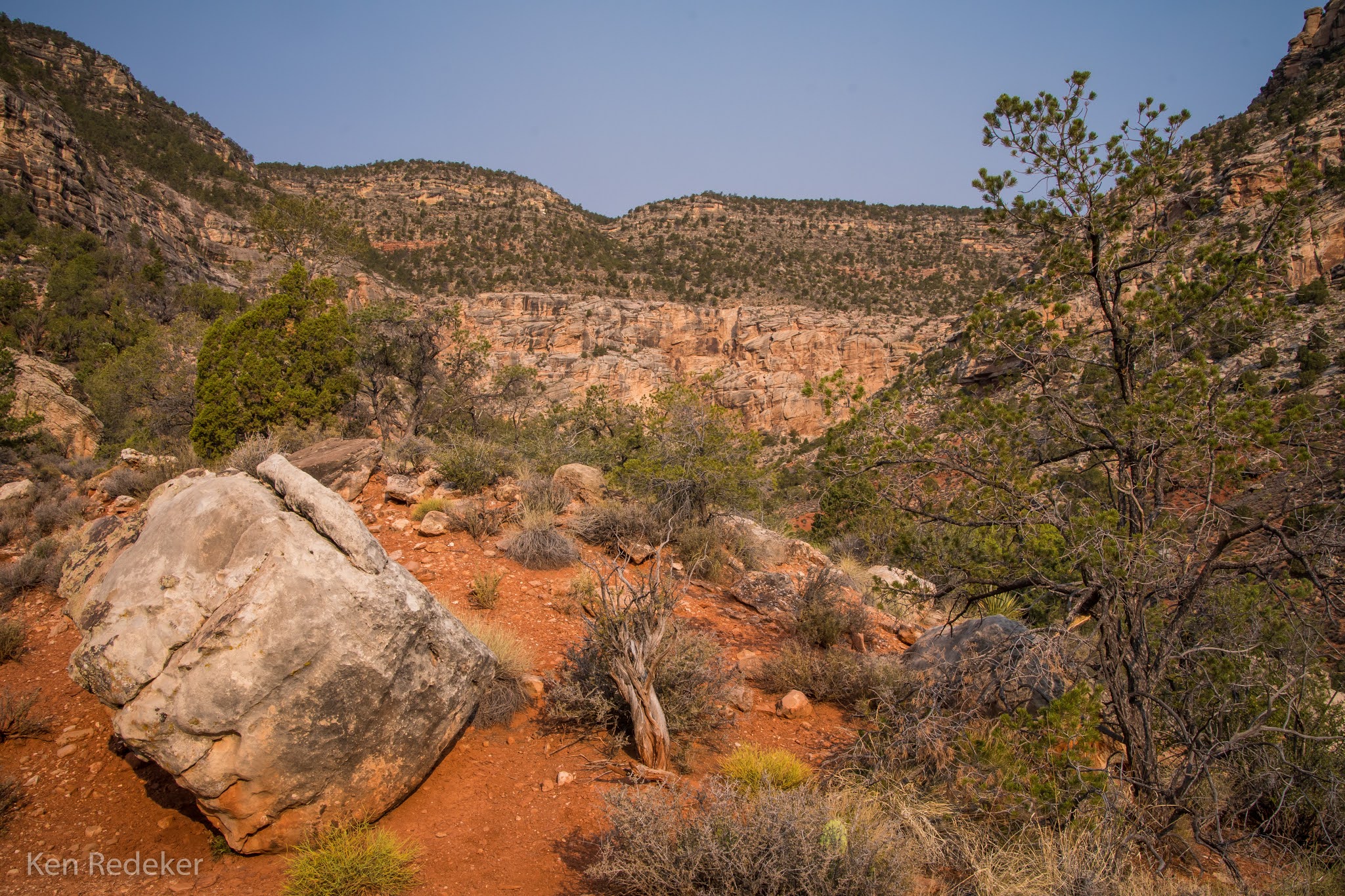
Looking back at the trail.


The 12,633 foot summit and marker.