Tuesday, August 31, 2021

Dead Horse Ranch State Park - Cottonwood, AZ

Since the monsoon was bringing a flash flood warning I spent the night in a cabin at Dead Horse Ranch State Park.


Sunday, August 29, 2021

Little Granite Mountain - Granite Basin Recreation Area, Prescott

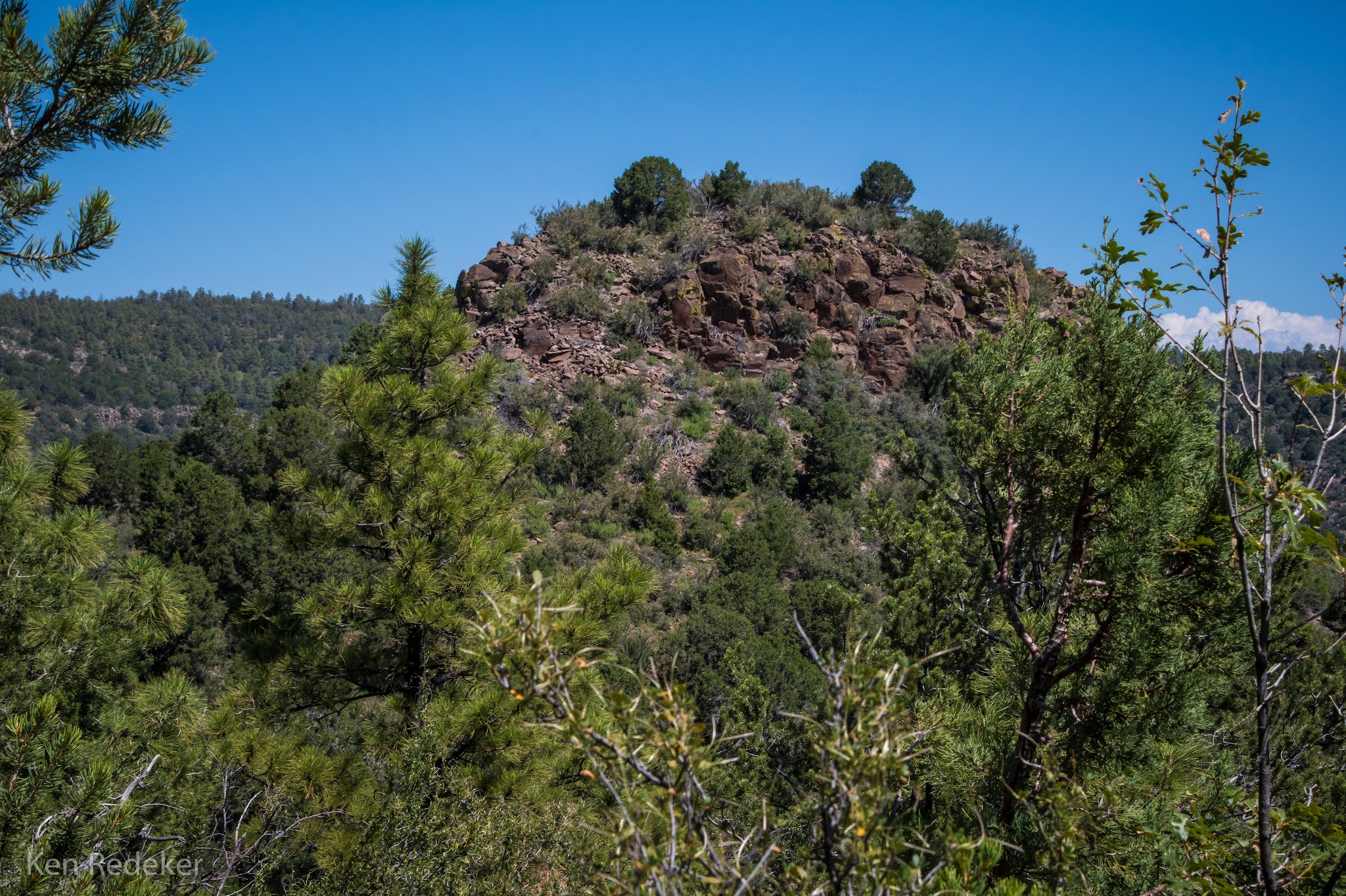
The 7.2 mile loop hike around Little Granite Mountain took me 4 hours and 22 minutes, with approximately 1,000 feet of elevation gain. This time I followed the trail counter-clockwise. It took me 44 minutes to reach Blair Pass which is 1.75 miles from the trailhead. At this point a trail heads north up Granite Mountain. Granite Basin is part of the Prescott National Forest. The trail wanders through areas of chaparral, rocky hills, and pinyon-juniper pine woodland. This was my second time doing this beautiful loop. I began my hike at the Metate Trailhead near Granite Basin Lake.

These are my happiest days when I am on the trail and not working at Walmart.


My 7.2 mile hike.

Wednesday, August 25, 2021

Peak 7334 (Crow's Peak) - Prescott National Forest, AZ

From my car parked on AZ-89A it was 2.5 miles round-trip to the summit.  I followed an occasional trail used mostly by game. There was plenty of bushwhacking and brambles the closer I got to the top. The rocky outcrop at the summit was a class 3 climb, and it took me about a half hour to find a safe way up. It took me 2 hours to go 1.25 miles to the summit from 6,170 feet to 7,334 feet.

At the saddle.

View from the summit.

View of the Prescott Valley from the summit.

Me near the summit.

AZ-89A down below where I parked my car.

Walking back to my car on AZ-89A.

The route from my car.


Sunday, August 22, 2021

Mushroom Rock - Sedona, AZ

My 7.6 mile round-trip hike to Mushroom Rock and beyond. The ascent was 1,273 feet from the Boynton Canyon Trailhead. It's also 1.2 miles to get past the ugly luxury resort. After 1.7 miles I found the faint trail on the right, and began the challenge. It was 3 miles to Mushroom Rock from the trailhead, and it took 2 hours and 38 minutes to reach it. After that I walked on the slickrock heading southeast until I could go no farther. Then I turned around and hiked northwest until I could go no farther on the Coconino Sandstone. The entire hike took me 7 hours and 26 minutes. It was hot and I took a lot of breaks.


The trail follows the cliff.


Ascending a steep canyon.

Ascending the steep canyon on a faint and overgrown trail.


Mushroom Rock on the left.

Mushroom Rock on the left.

The view from Mushroom Rock.

Mushroom Rock


My feet from the top of Mushroom Rock.


The sandstone ridge I climbed up.

My route from Boynton Canyon Trail.

Tuesday, August 17, 2021

Kaibab National Forest - Tusayan, AZ

I spent two nights here about one mile south of the entrance to Grand Canyon National Park. It's on Long Jim Loop Road off of AZ-64. It's very quiet and clean, and the cell service here is good. In Tusayan, the cell service can be spotty. So nice to be sleeping at 6,600 feet elevation.


Monday, August 16, 2021

Hermit Trail to Breezy Point - Grand Canyon National Park

My 11 mile round-trip hike on the Hermit Trail to Breezy Point was easy going down but terribly exhausting going back up to the rim. The trail drops 2,200 feet from the South Rim to Breezy Point. It took me 3.5 hours to reach Breezy Point, and 6.5 hours to get back up to the rim. The last mile was the most difficult. I didn't see anybody on the trail. So nice to have complete solitude. The trail going back up was so fatiguing that I forgot I had OCD. Although I wasn't happy about my very slow pace. But the entire hike was without a doubt certainly worth the minor foot pain, and complete exhaustion.

My first target along the trail was Santa Maria Spring, a permanent water source next to a shelter, which is reached after 2.2 miles and a 1,640 foot descent. It took me 1 hour and 10 minutes to reach the spring. My second destination was 1.5 miles further and about 400 feet lower at Lookout Point. Then 1.8 miles to Breezy Point, my turn around destination, and about 220 feet lower.

The trail descends the white Coconino Sandstone, and then weaves along the sloping red layers of the Supai formation until reaching Breezy Point.


Santa Maria Spring and shelter at 2.2 miles from the trailhead.

The shelter at Santa Maria Spring.


The trail goes along the Supai formation.

Breezy Point on the right.

The Supai Formation


The view from Breezy Point.

Looking back at Breezy Point.

Looking back at the trail along the Supai formation.


Looking back at the trail along the Supai formation.

The blue route is my 11 mile round-trip hike.