I began my 12.5 mile round trip hike at 2:00am, because I wanted to be back on the rim by noon to avoid the dangerous afternoon heat of the inner canyon. It’s a 3,195 foot descent on the Bright Angel Trail to Indian Garden and to Plateau Point Trail. the overlook is 1,300 feet above the Colorado River and overlooks the Granite Gorge between Pipe Creek Canyon and Monument Canyon. I arrived at Plateau Point at 5:15am. The entire hike took me 10 hours and 17 minutes with an hour break at Plateau Point to do photography. It was 91 degrees on the South Rim when I finished my hike.
It was an amazing experience hiking down the Grand Canyon in the dark with only a headlamp. Above me were billions of stars, and a crescent moon, and below were big black voids. My field of vision was limited to a beam of light extending about 100 feet in front of me, and I was blind to the expansive canyon below. Heading down the trail I encountered a Sonoran Gopher Snake, a Giant Desert Hairy Scorpion, deer, mountain goats, and a skunk.
 |
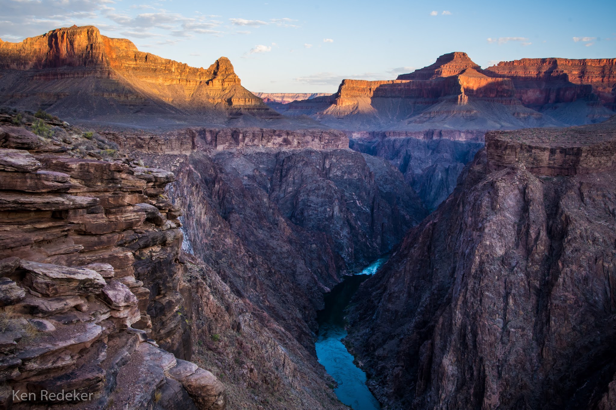
| Granite Gorge and the Colorado River. |
 |
| Me on Plateau Point. I brought my tripod with. |
 |
| Granite Gorge and the Colorado River. |
 |
| Granite Gorge and the Colorado River. |
 |
| Granite Gorge and the Colorado River. |
 |
| Plateau Point Trail |
 |
| Plateau Point Trail |
 |
| Plateau Point Trail |
 |
| Plateau Point Trail |
 |
| Looking across the Granite Gorge. |
 |
| Bright Angel Trail passing through Indian Garden. |
 |
| Bright Angel Trail |
 |
| Bright Angel Trail |
 |
| Bright Angel Trail |
 |
| My 12.5 mile round trip hike. |