Finally I took the correct route up Mescal Mountain to the 5,043 foot summit. The mesa is reasonably flat, and I spent an hour circling the mesa along the cliffs. I made a one mile loop.
The trail is unmarked, and an unofficial climbers trail leads up to the mesa. Then there is a short class 3 climb up the cliffs and this eliminates most hikers. As a result you get solitude in Sedona. The hike is 3 miles round trip.
 |
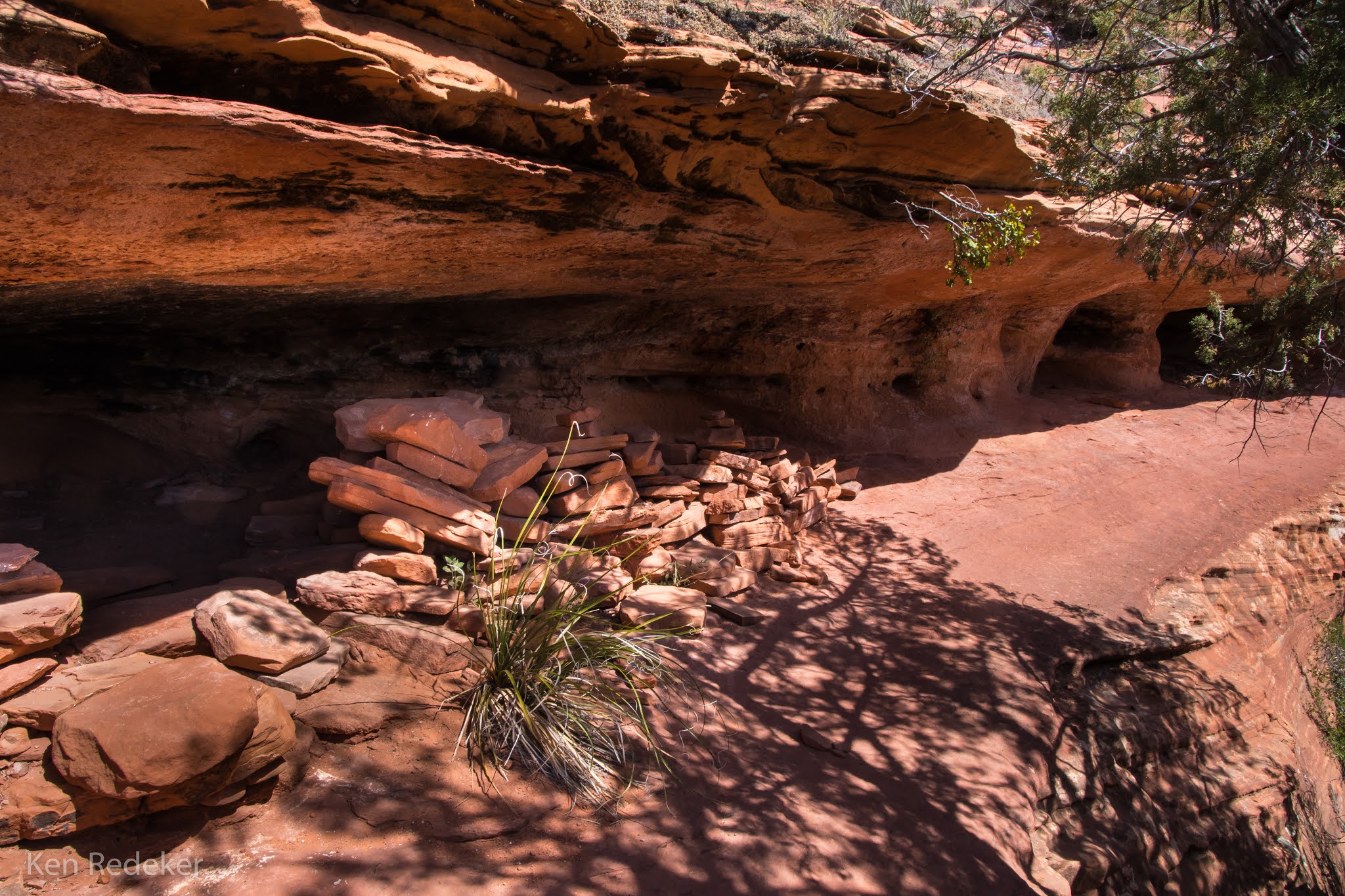
Indian ruins.
|
 |
At the saddle.
|
 |
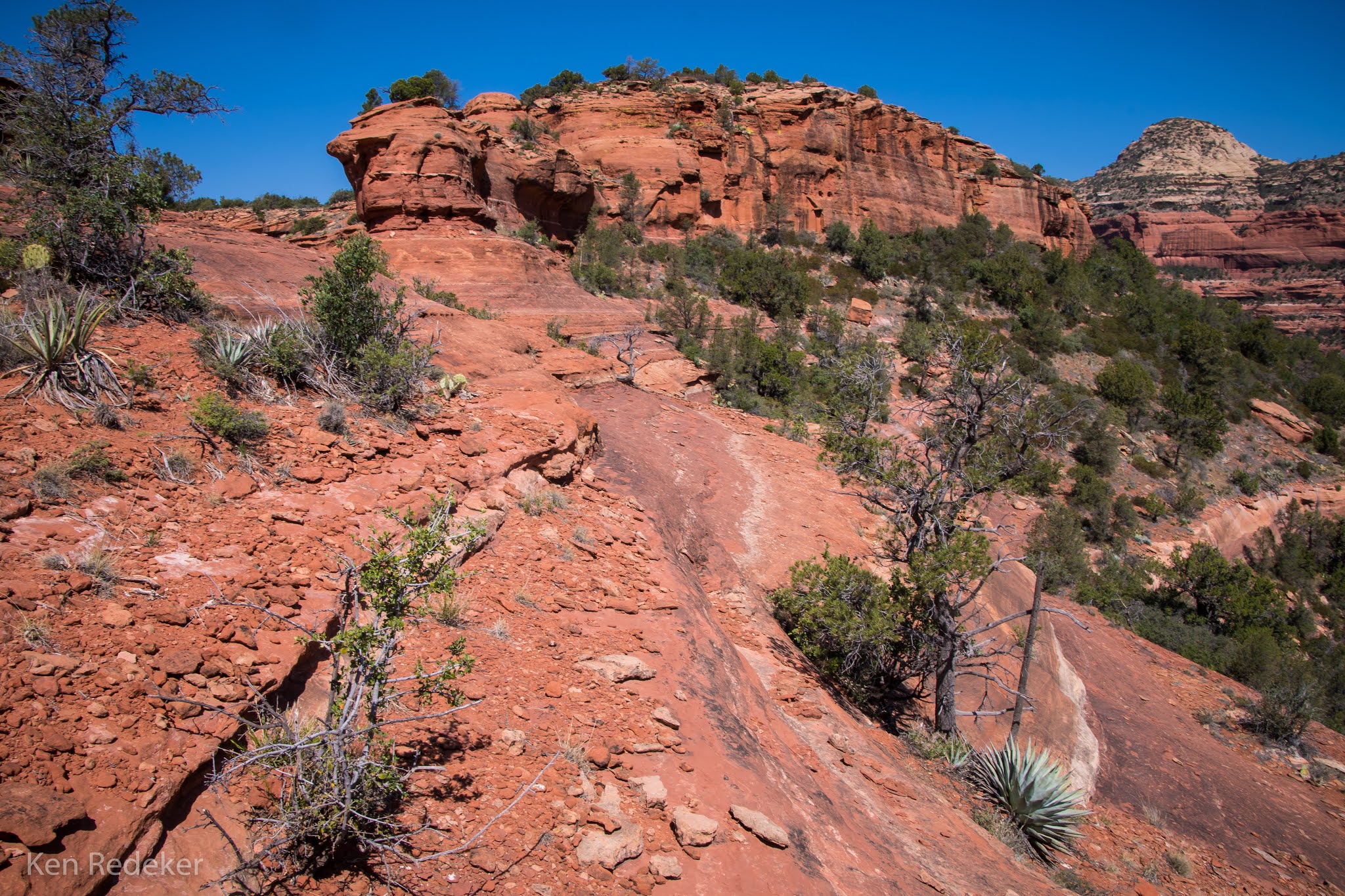
Hiking up the mesa.
|
 |
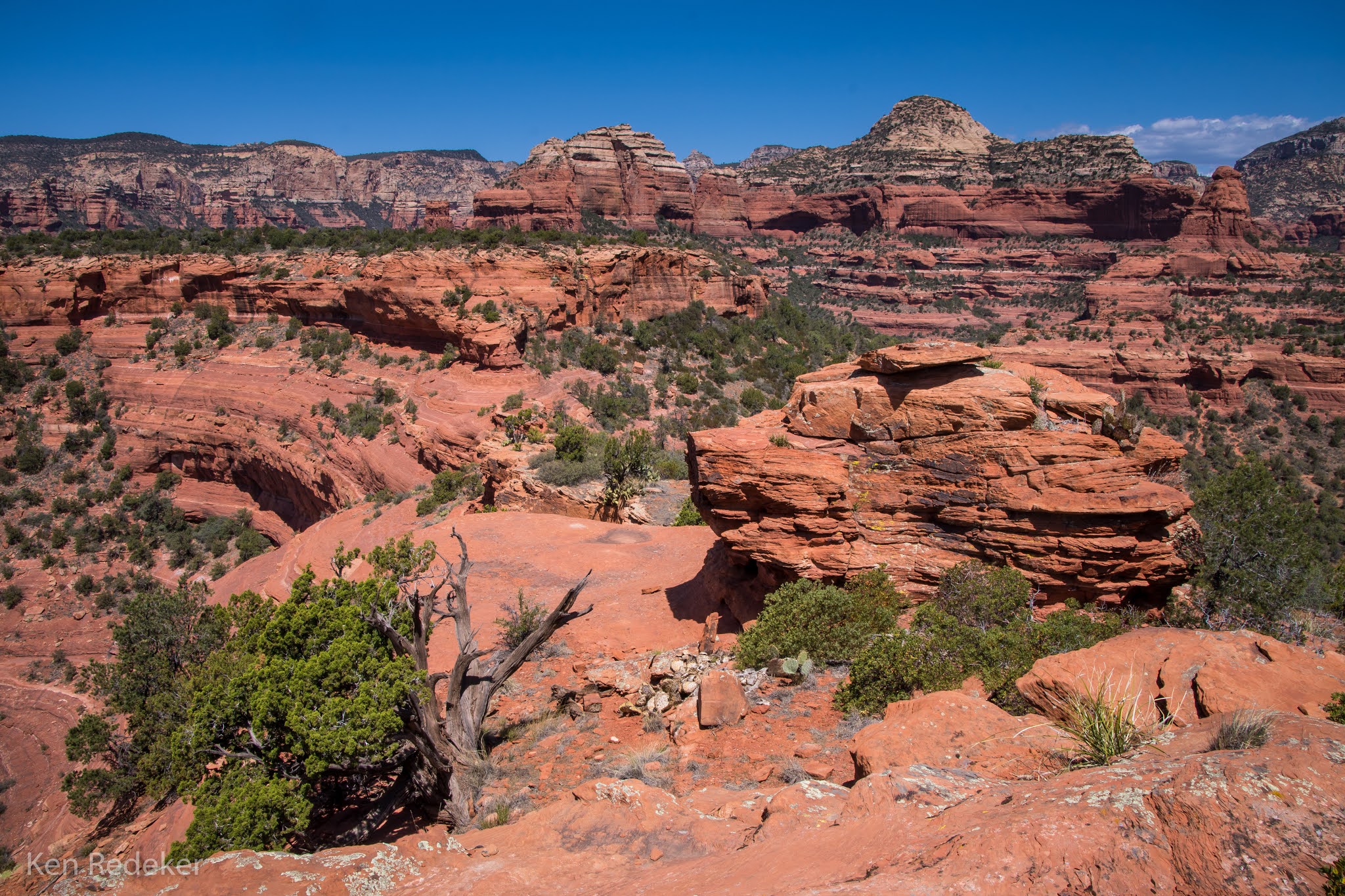
On the mesa.
|
 |
Me on the highest point. I brought my tripod with.
|
 |
My route.
|