Monday, August 9, 2021

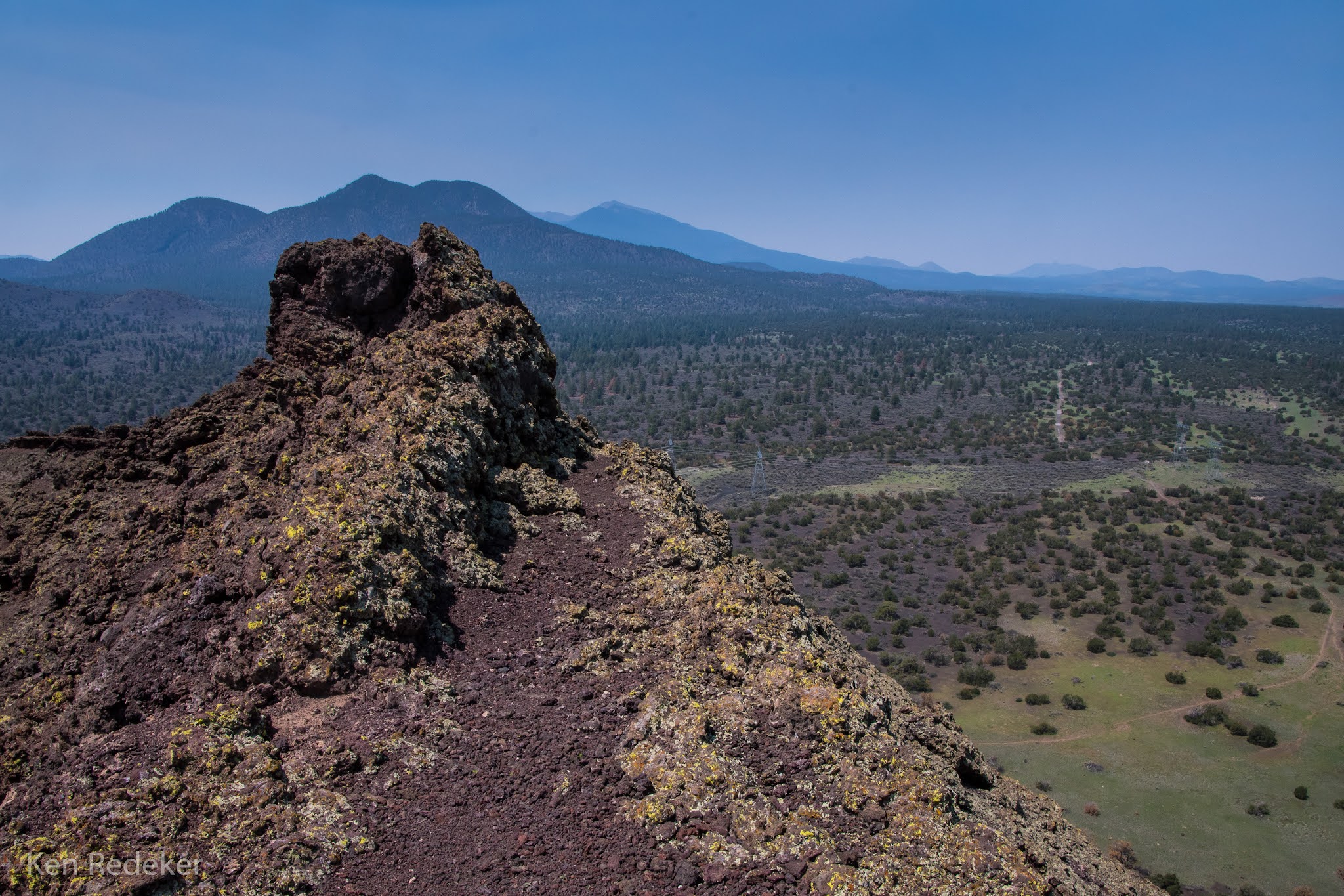
Black Bottom Crater - Coconino National Forest

This was my second cinder cone hike in one day. It was 2.4 mile hike up the cinder cone, then down the crater and up the other side, and around the rim. It took me 2 hours and 6 minutes. Reaching just the summit took me 43 minutes.


On the 6,332 foot summit of Black Bottom Crater.


My 2.4 mile route.

Black Mountain - Coconino National Forest

 I hiked up the cinder cone Black Mountain. The San Francisco Volcanic Field contains about 600 cinder cones. The hike to the 7,552 foot summit was 3 miles round-trip, and took me 2.5 hours. I started at 6,800 feet. Reaching just the summit took me 1 hour and 18 minutes in 1.5 miles.


The 7,552 foot summit.


My 3 mile round-trip hike.

Wednesday, August 4, 2021

Strawberry Crater - Coconino National Forest

Strawberry Crater is a volcanic cinder cone in the Strawberry Crater Wilderness. The cone is about 50,000 years old. In the final stages of eruption, a lava flow broke out of the east base and rafted much of the interior cone away causing a breached cone. Strawberry Crater's name comes from the strawberry-colored oxidized agglutinate that armors the cone.

The entire round trip hike was 11.4 miles and took me 7 hours. The Strawberry Crater Wilderness is in the Coconino National Forest near Flagstaff.


My 11.4 mile round trip hike.

My hike to the summit.

Tuesday, August 3, 2021

Grand Falls - Navajo Nation, Arizona

Grand Falls is located 30 miles northeast of Flagstaff in the Painted Desert on the Navajo Nation. It is also called Chocolate Falls because of the color. At 185 feet tall it is higher than Niagra Falls.

Grand Falls


Grand Falls

Monday, July 26, 2021

Apache Maid Trail - Wet Beaver Wilderness

I did an 8.4 mile round trip hike on the Apache Maid Trail in The Wet Beaver Wilderness. The elevation gain was 1,290 feet and it took me 4 hours. I was the only person hiking the Apache Maid Trail. The Bell Trail follows Wet Beaver Creek to The Crack which draws 99% of the hikers. But after 2.2 miles I left The Bell Trail and headed up the mesa.

The Wet Beaver Creek is a perennially flowing stream lined with cottonwoods and sycamore trees, and as you hike up the mesa it becomes pinyon-juniper woodlands. The Beaver Creek Watershed is located in the Transition Zone between the Basin and Range, and Colorado Plateau. It is one of several Mogollon Rim drainages providing surface flow to the Verde River.