Thursday, May 1, 2025
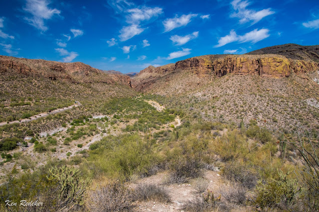
Tortilla Creek Massif - Tortilla Flat
I began my hike up Tortilla Creek Massif at 10:16 AM. At 0.8 miles I reached the rock cairn in Tortilla Creek which marked a well-defined use-trail. It had taken me 23 minutes to get there. Elevation was 1,700 feet. The hike up was steep but not difficult, and I arrived on the summit at 11:02 AM. It had taken me 46 minutes from the parking lot. The elevation gain from the creek was 505-feet. I headed back down at 11:14 AM, and reached the campground at 11:35 AM. At 11:53 I was back at my vehicle. The round-trip hike was 2.6 miles, and it took me 1 hour and 36 minutes.
Subscribe to:
Post Comments (Atom)


No comments:
Post a Comment